Geospatial Technologies Consultancy
Location Specific Solutions
ABOUT US
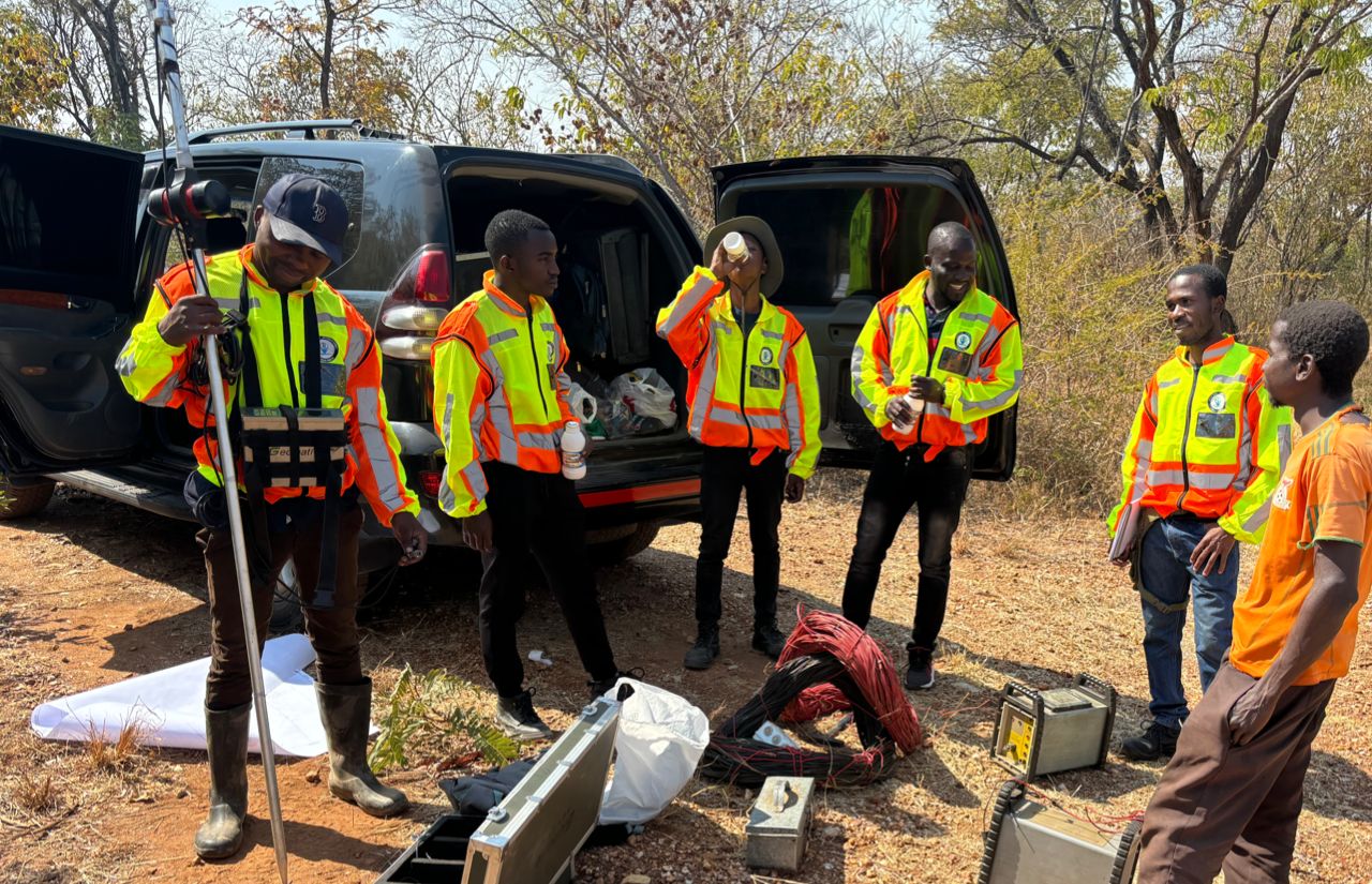
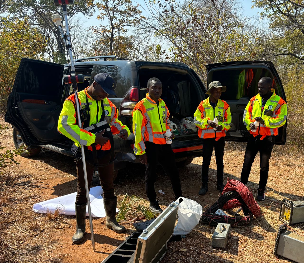
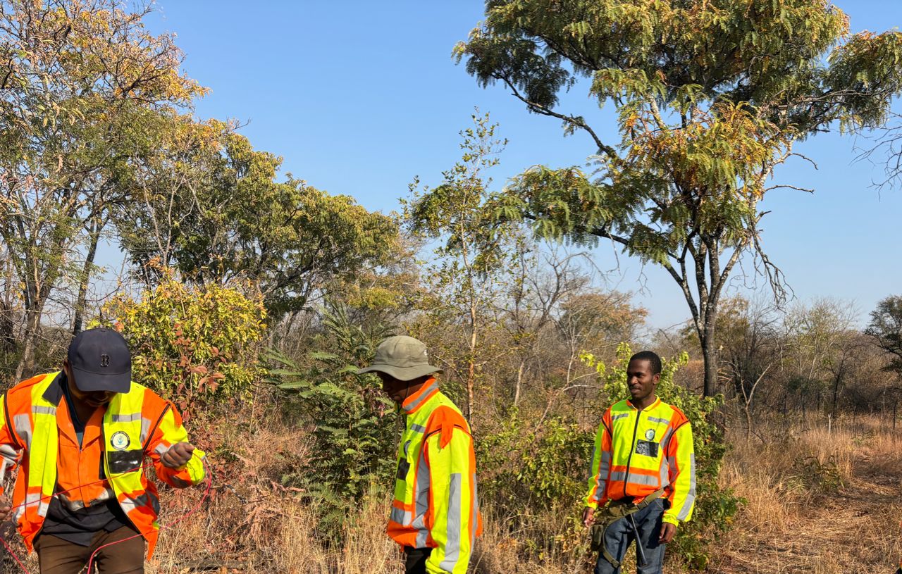
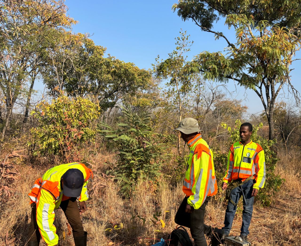
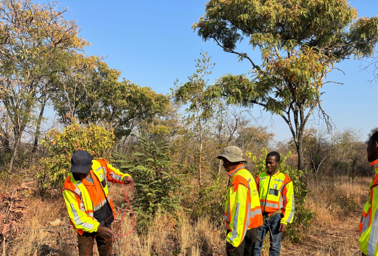
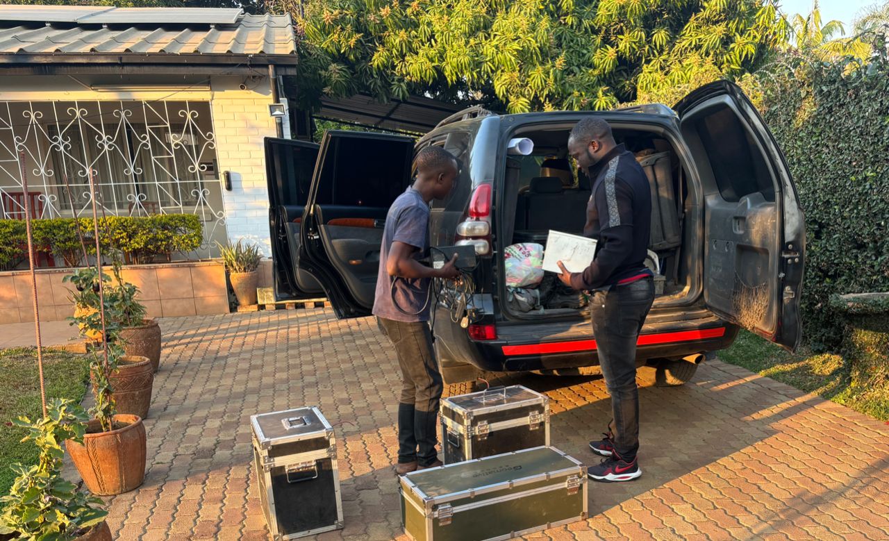
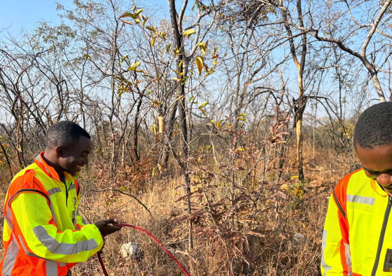
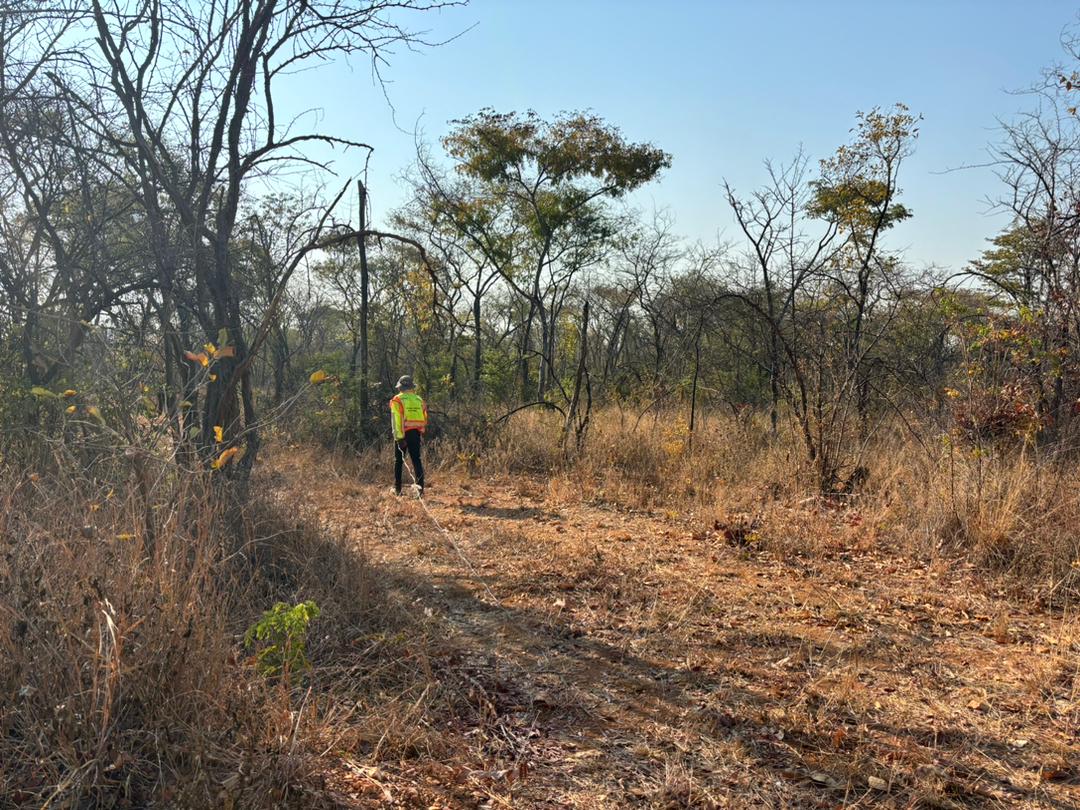
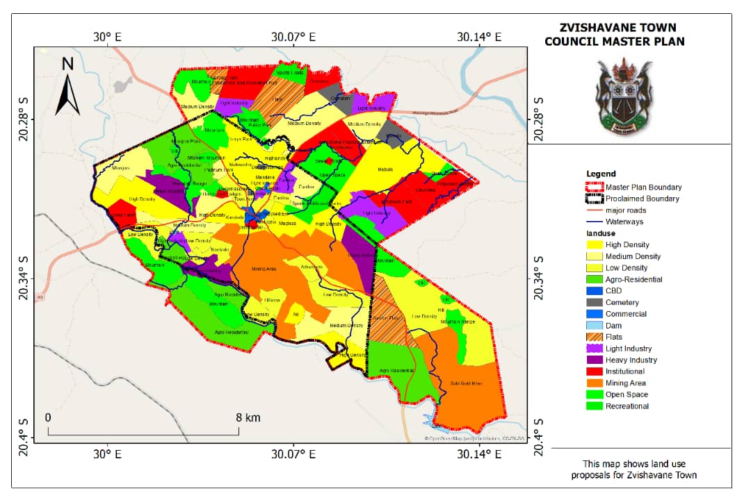
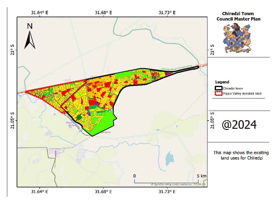
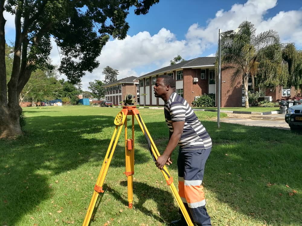
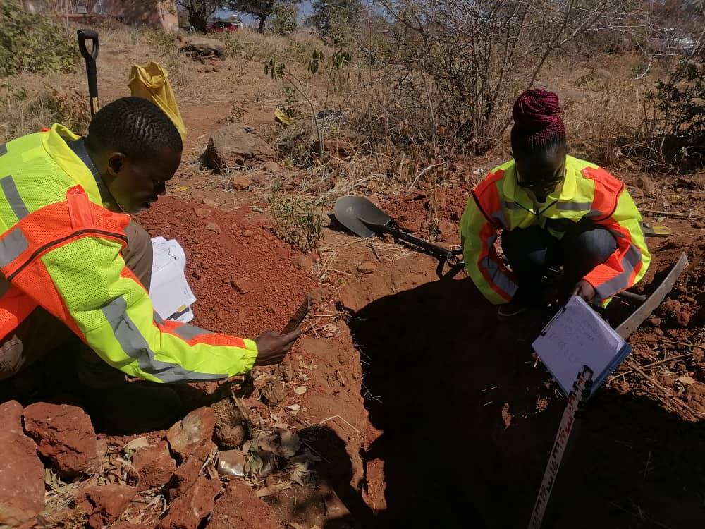
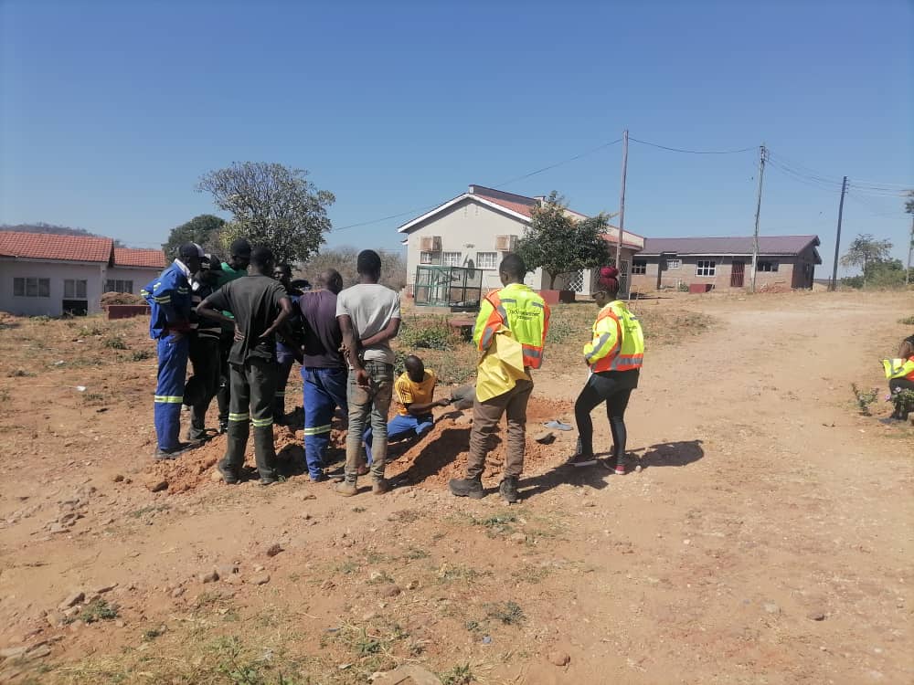
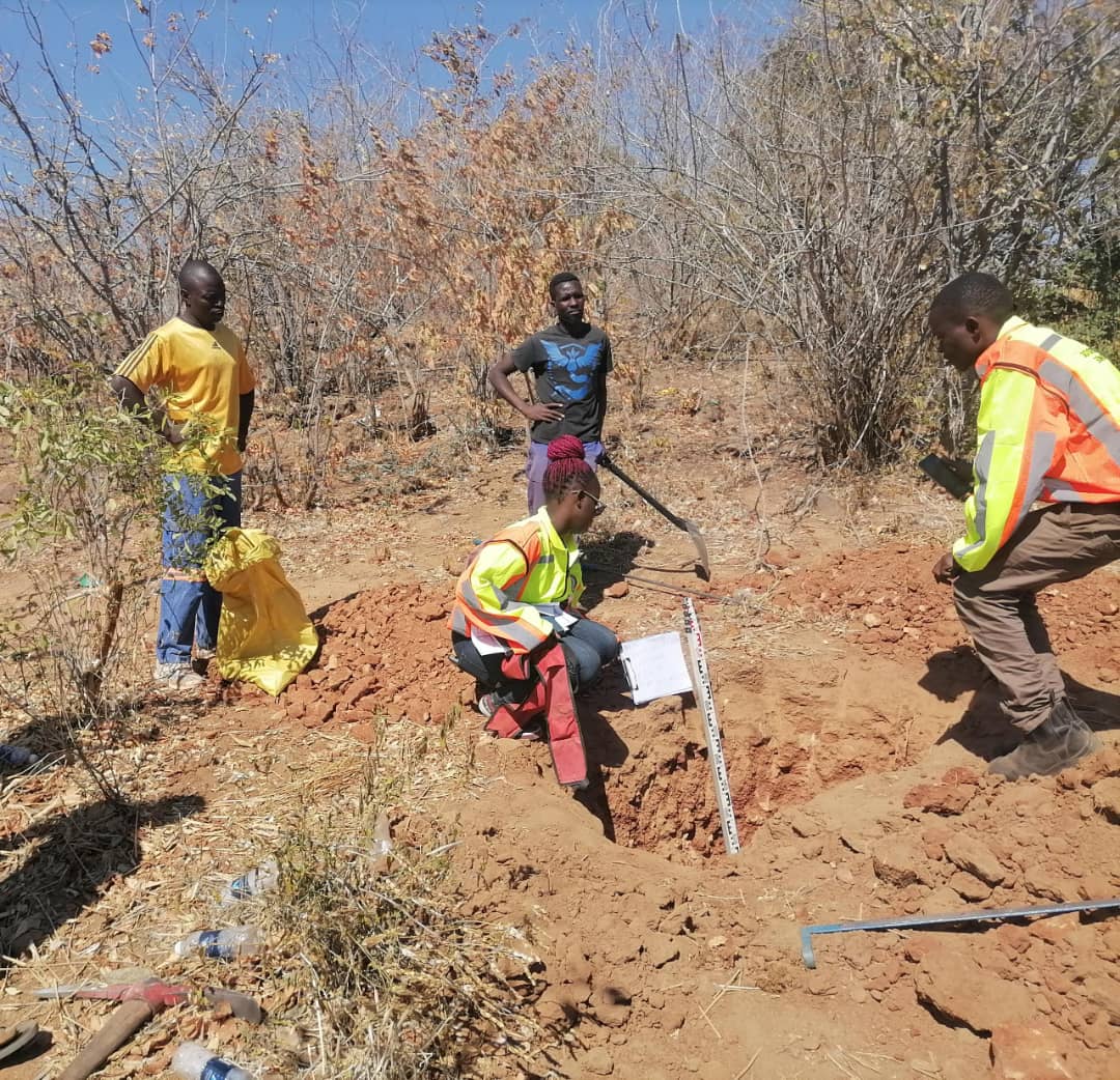
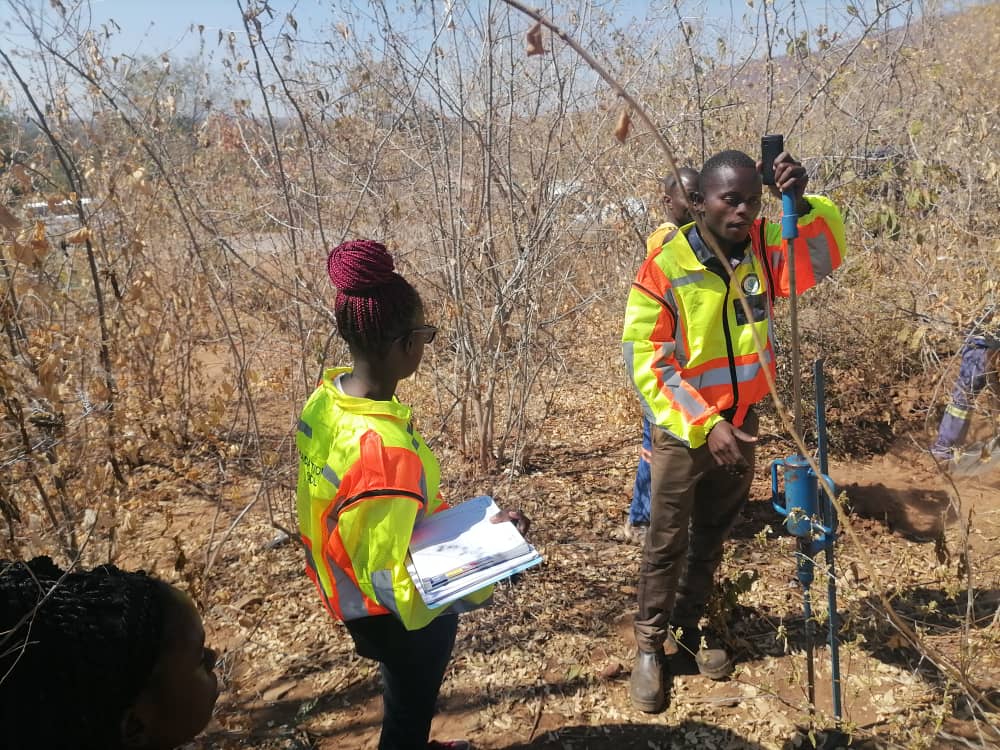
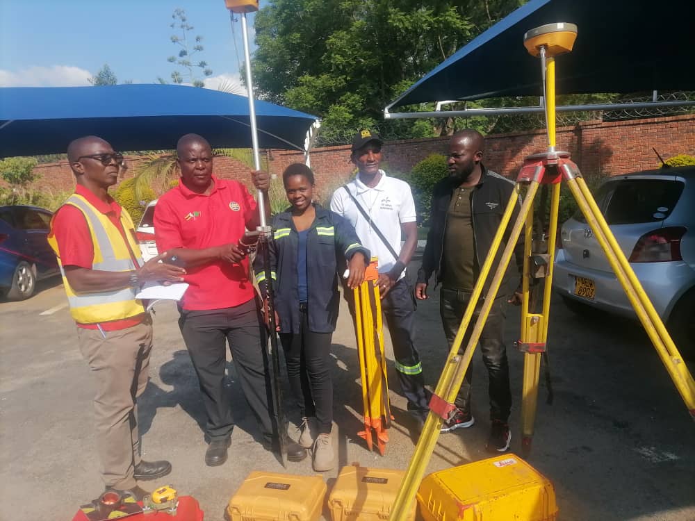
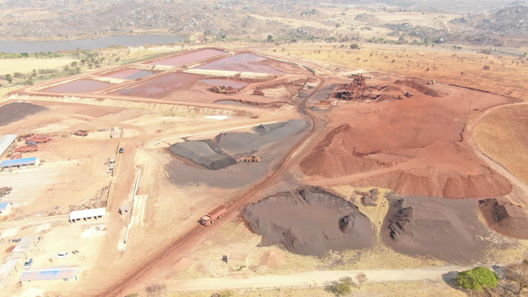
Geospatial Technology Consultancy is a well registered Zimbabwean company which offers Location Specific Solutions to individual, groups, private and public sectors. The company provides Topographic Surveys and Thematic Mapping for infrastructure, Spatial Planning, Environmental and Social Impact Assessments (ESIA), Environmental Management Plan (EMP), Boundary Reaffirmation, Updating of outdated maps, Field planning and measurements for well informed decisions, GeoDatabase creation and Maintenance, Drone Technology Consultation and more.
SERVICES
HYDROLOGICAL AND HYDRAULIC MODELLING
Hydrological and Hydraulic modelling (Flood modelling)
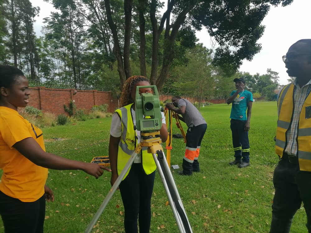
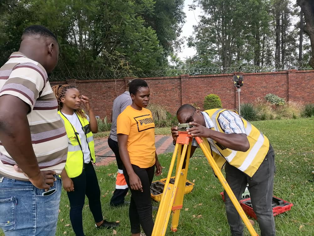
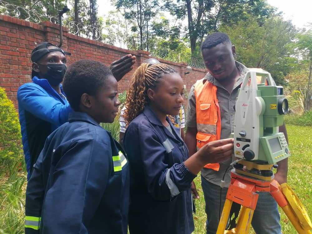
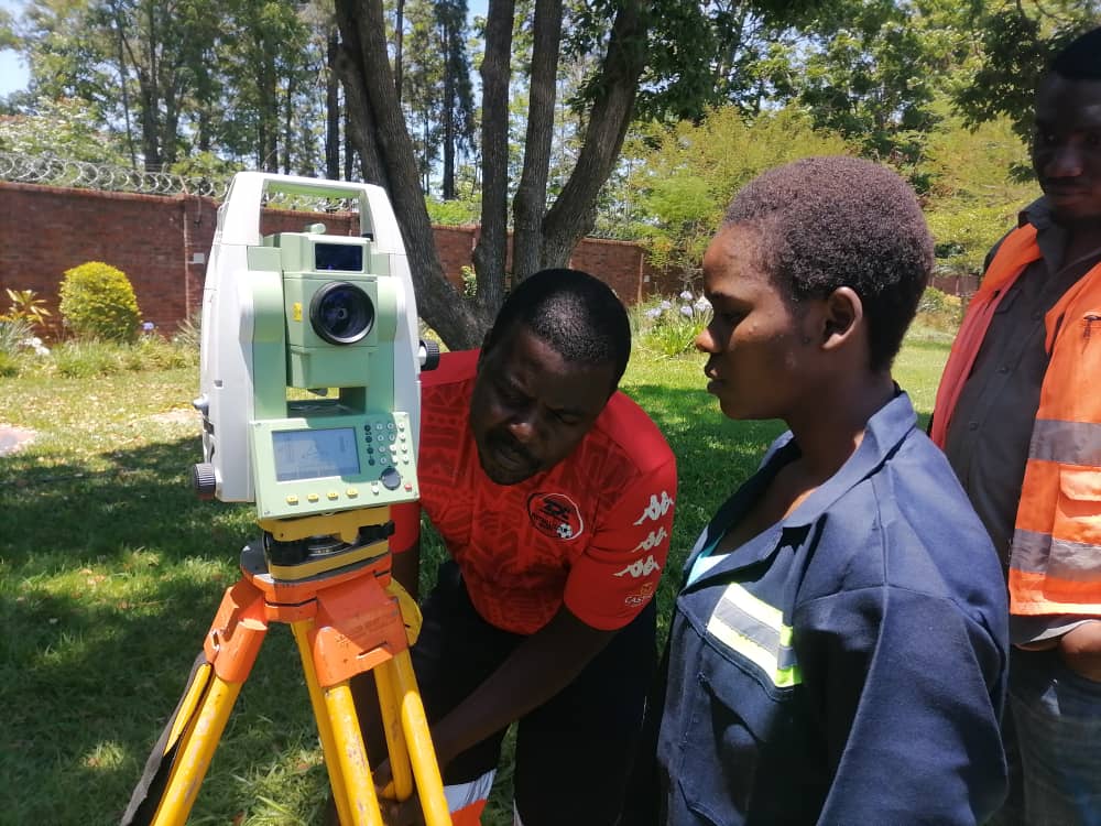
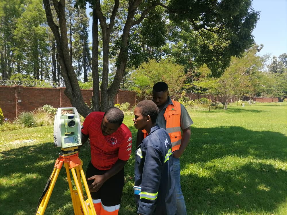
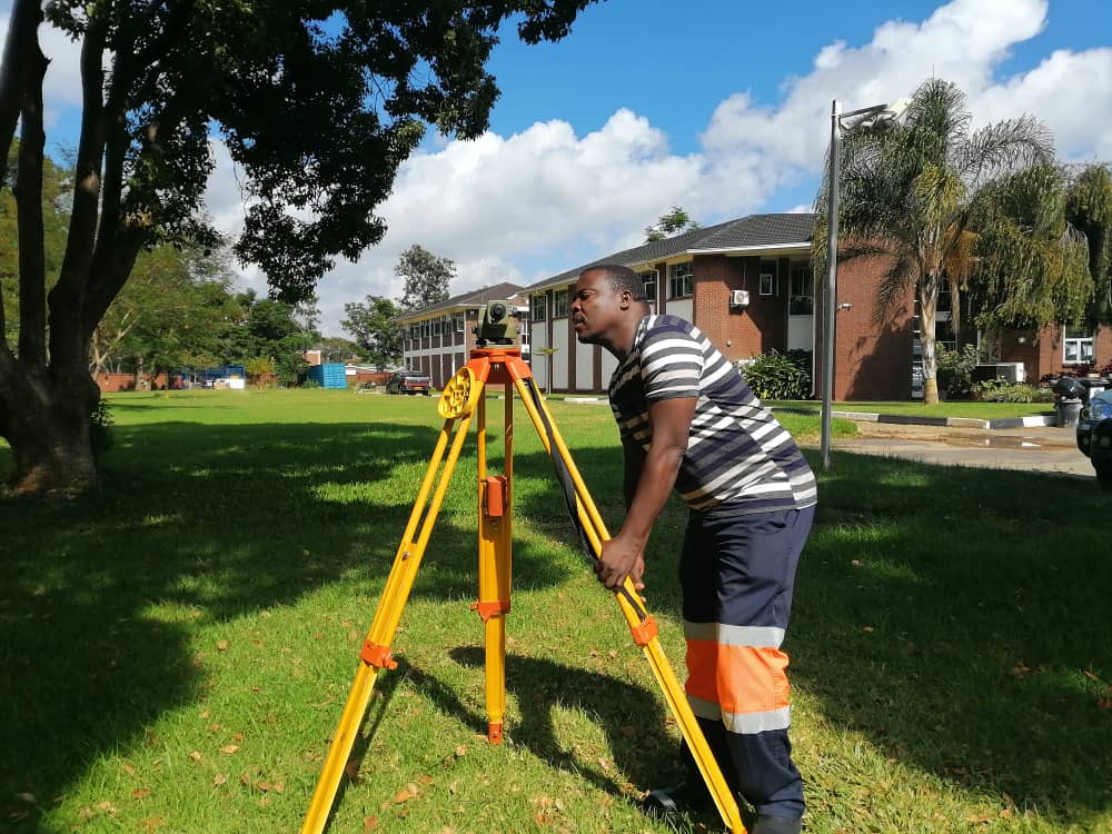
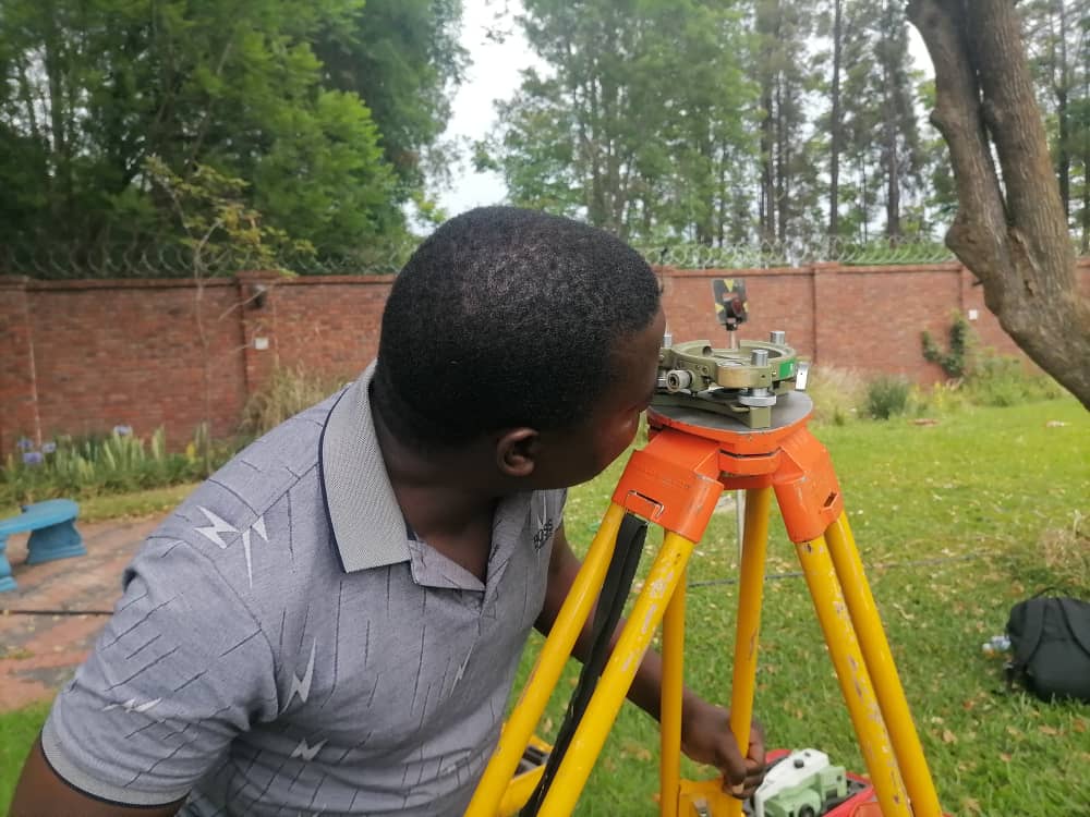
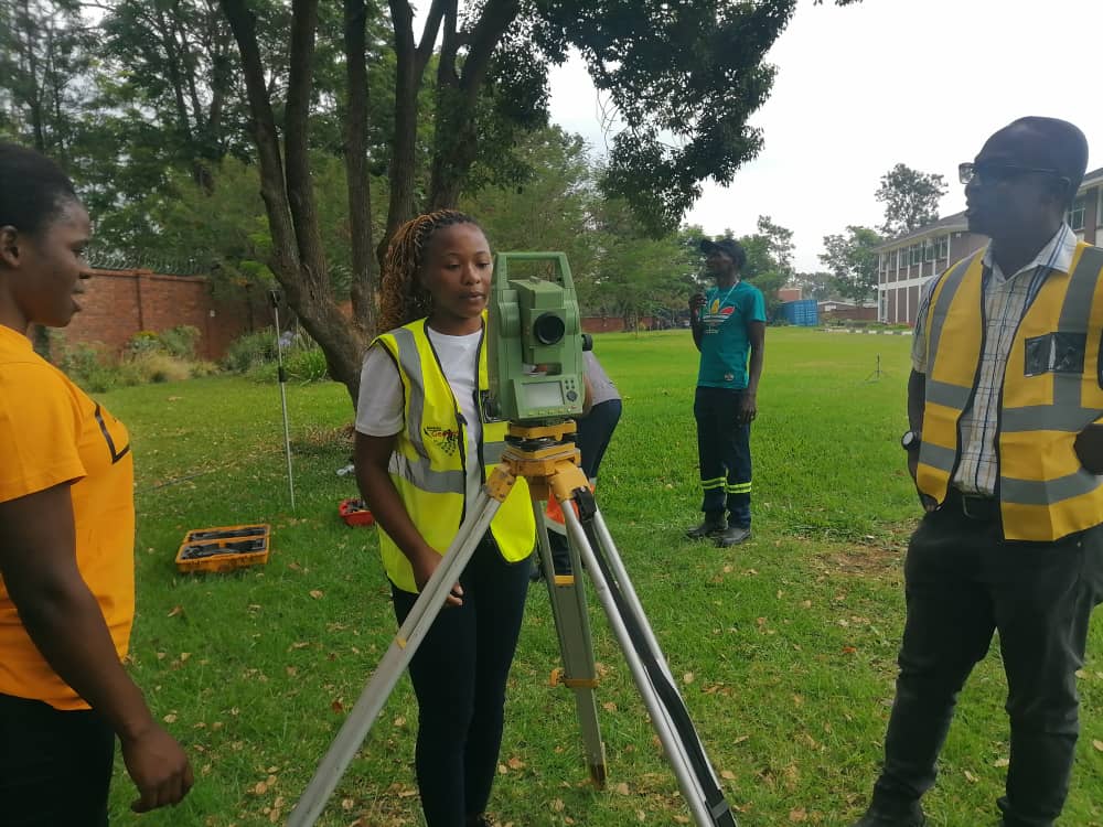
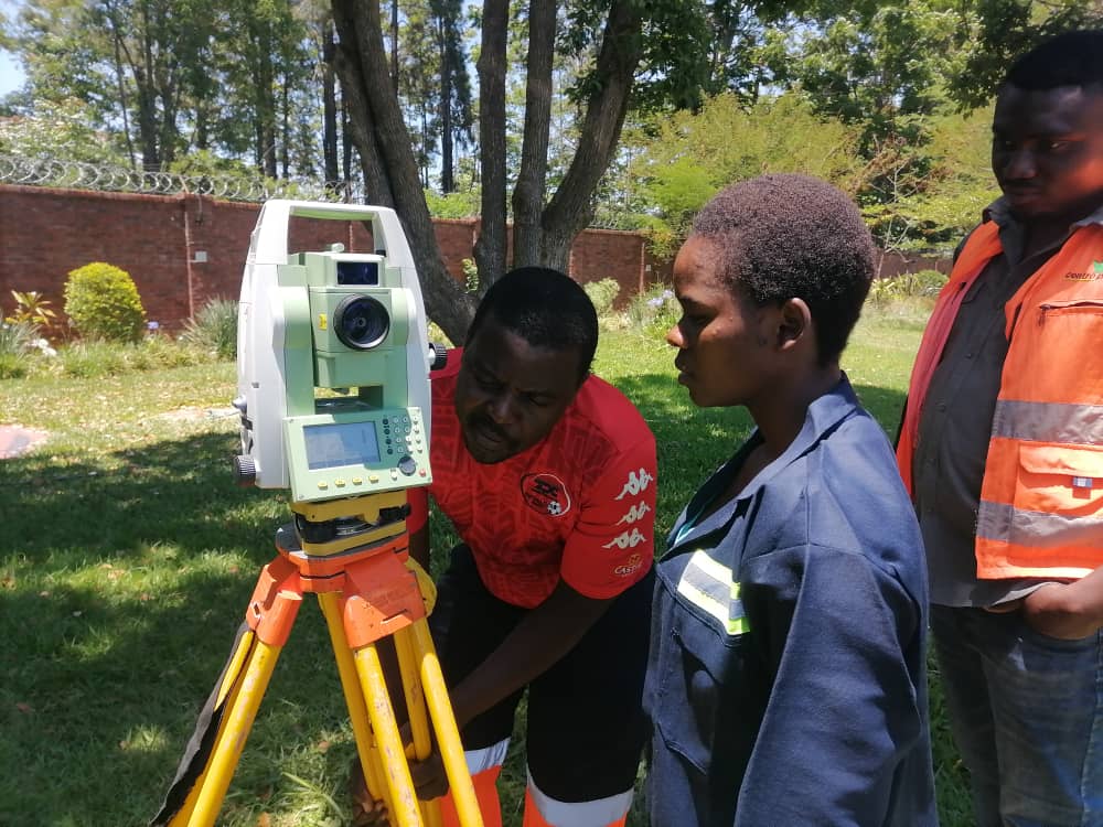
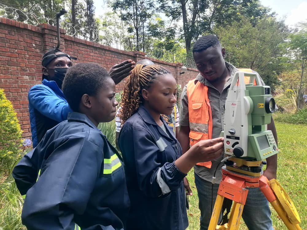
Drone Profession Related Trainings
MISSION
Mission
To be the center of excellence in Geospatial Technologies locally, regionally and internationally by year 2030.
Vision
To provide customer-driven Geospatial Technologies and services to enable well informed decision making and location specific solutions for individuals, private and public companies as well as government departments through highly productive workforce.
Values
Customer oriented & Trustworthy. Teamwork: To encourage coordination to achieve targeted goals Excellence and continuous learning. Integrity: The company adheres to commit to the highest standard of honesty, professionalism and uprightness at all times.
PROFESSIONAL COURSES
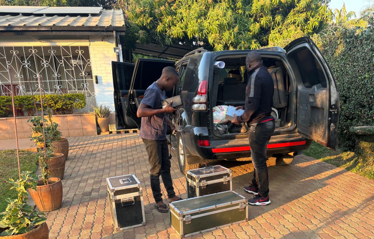
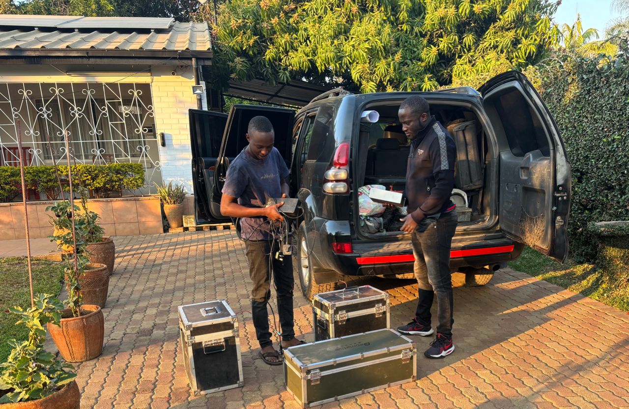
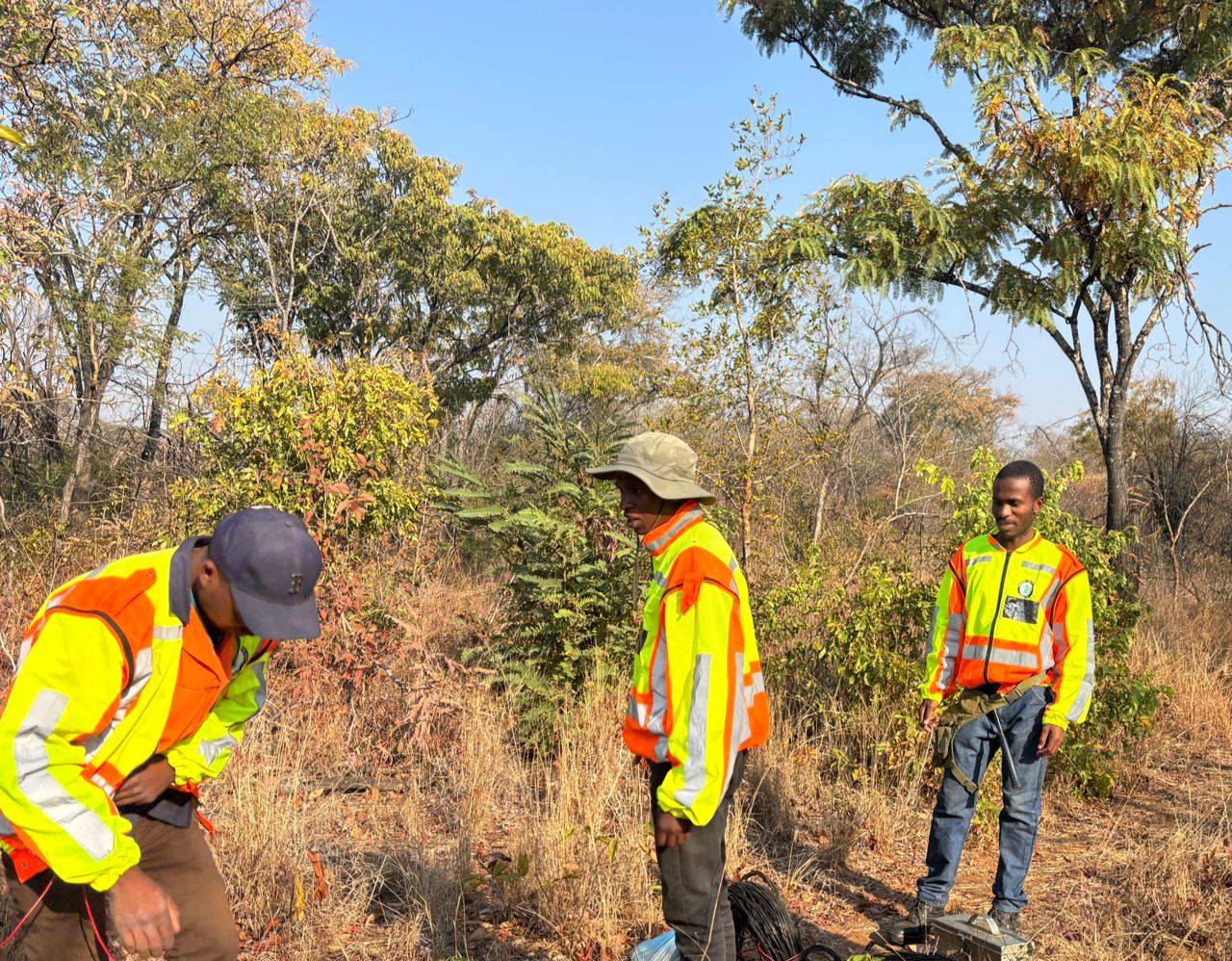
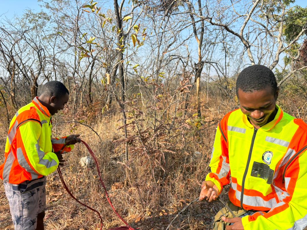
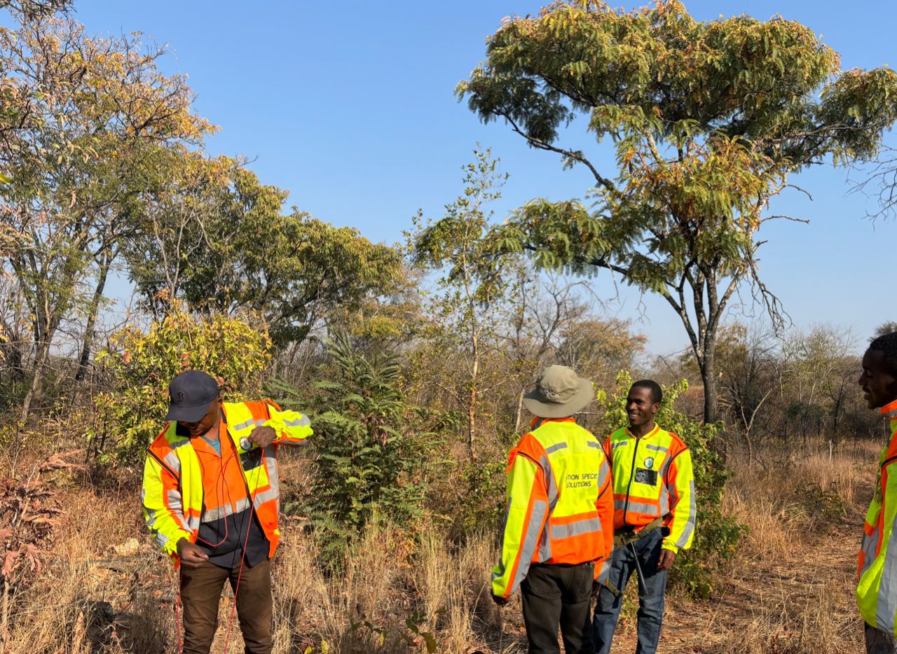
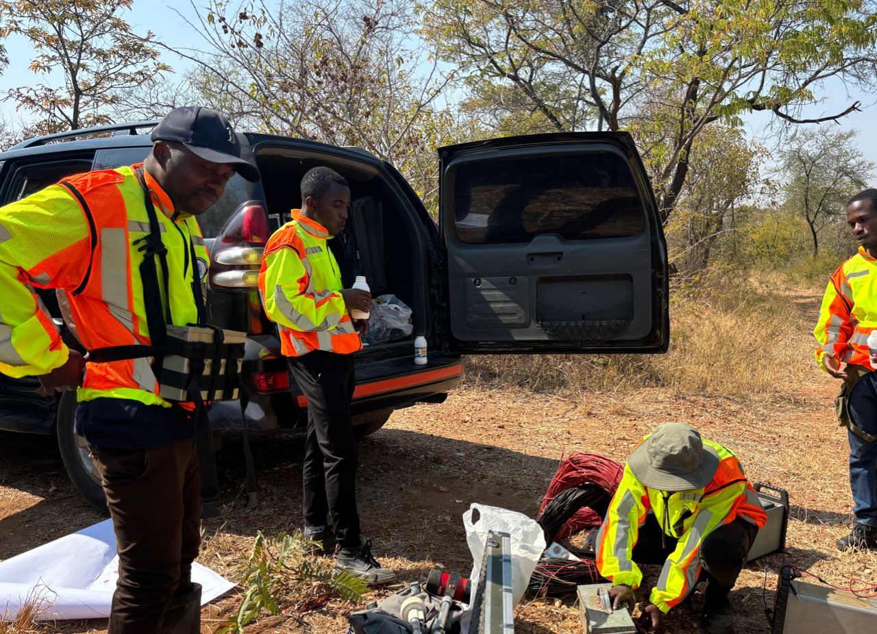
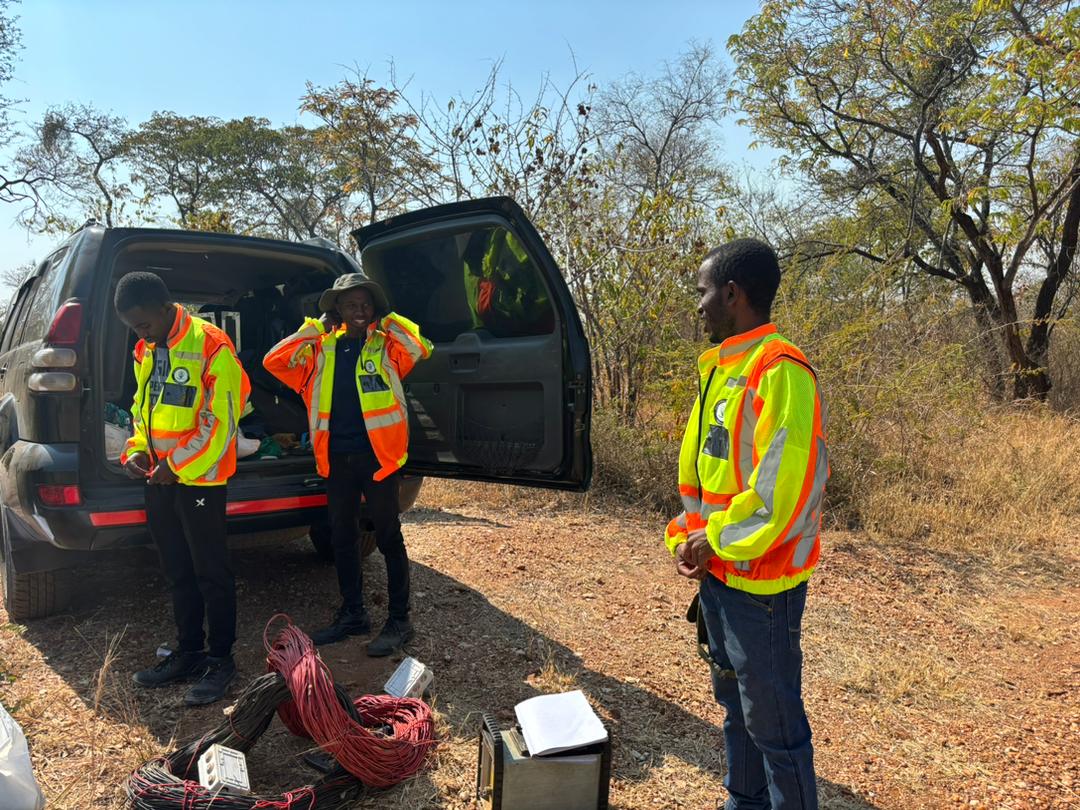
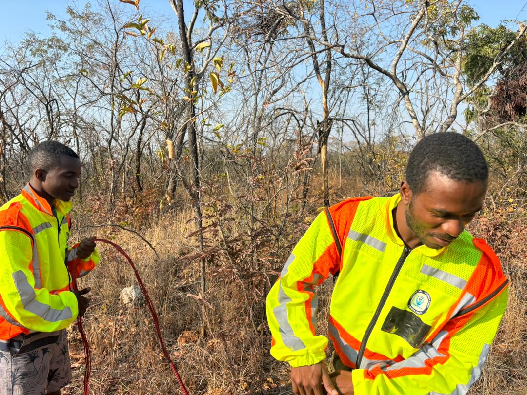
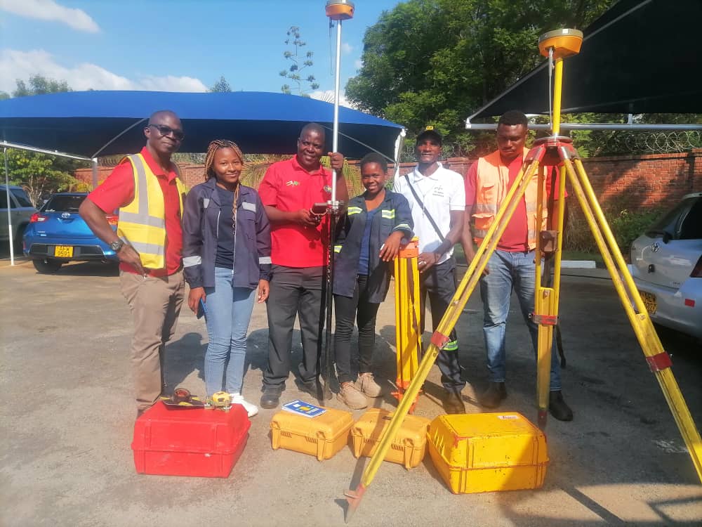
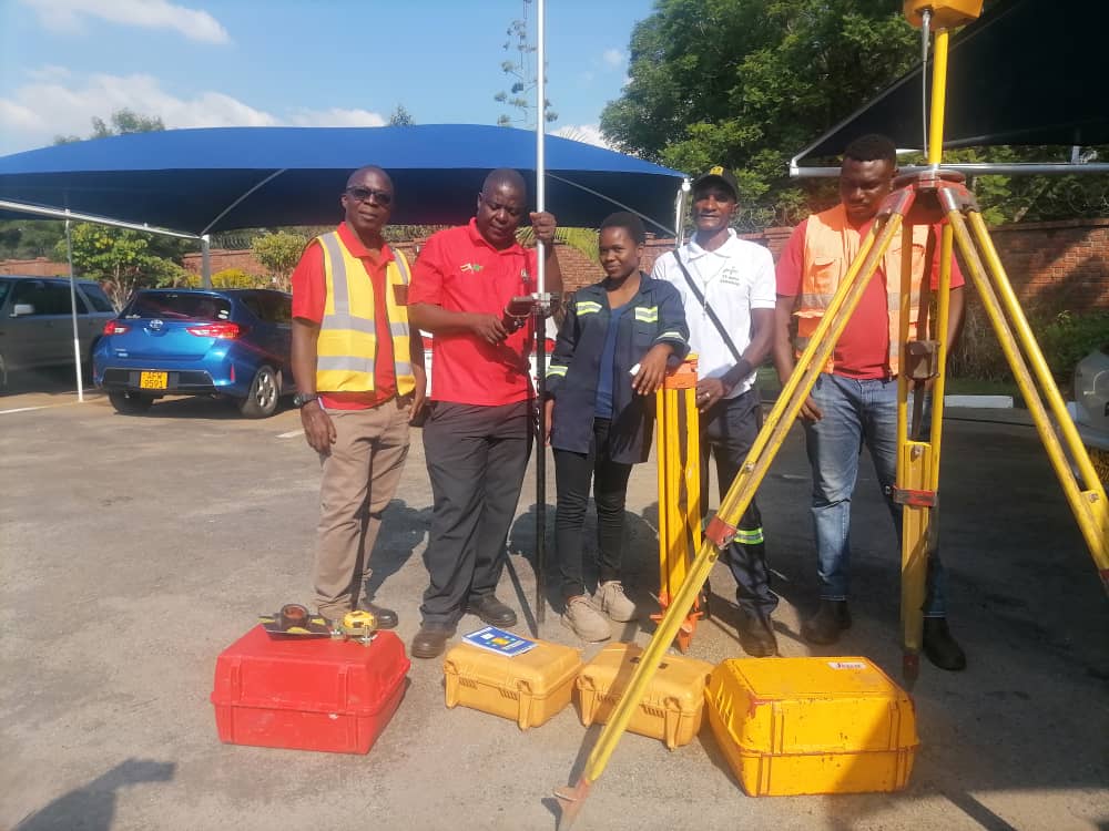
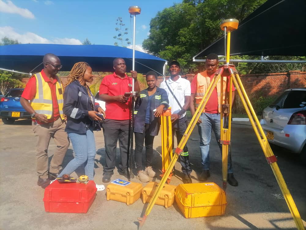
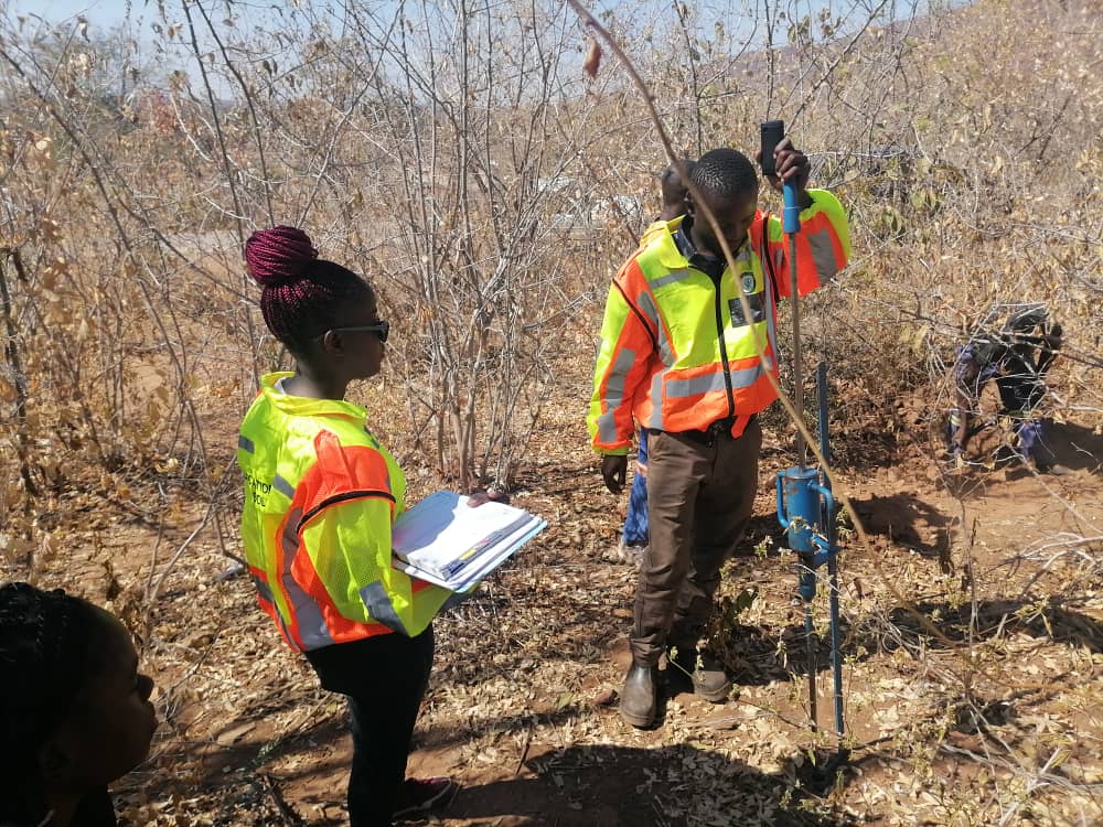
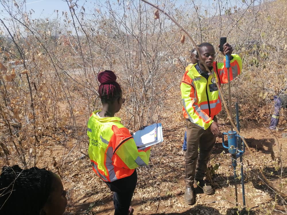
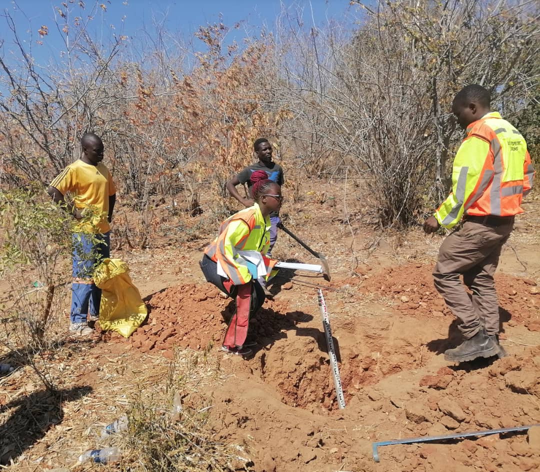
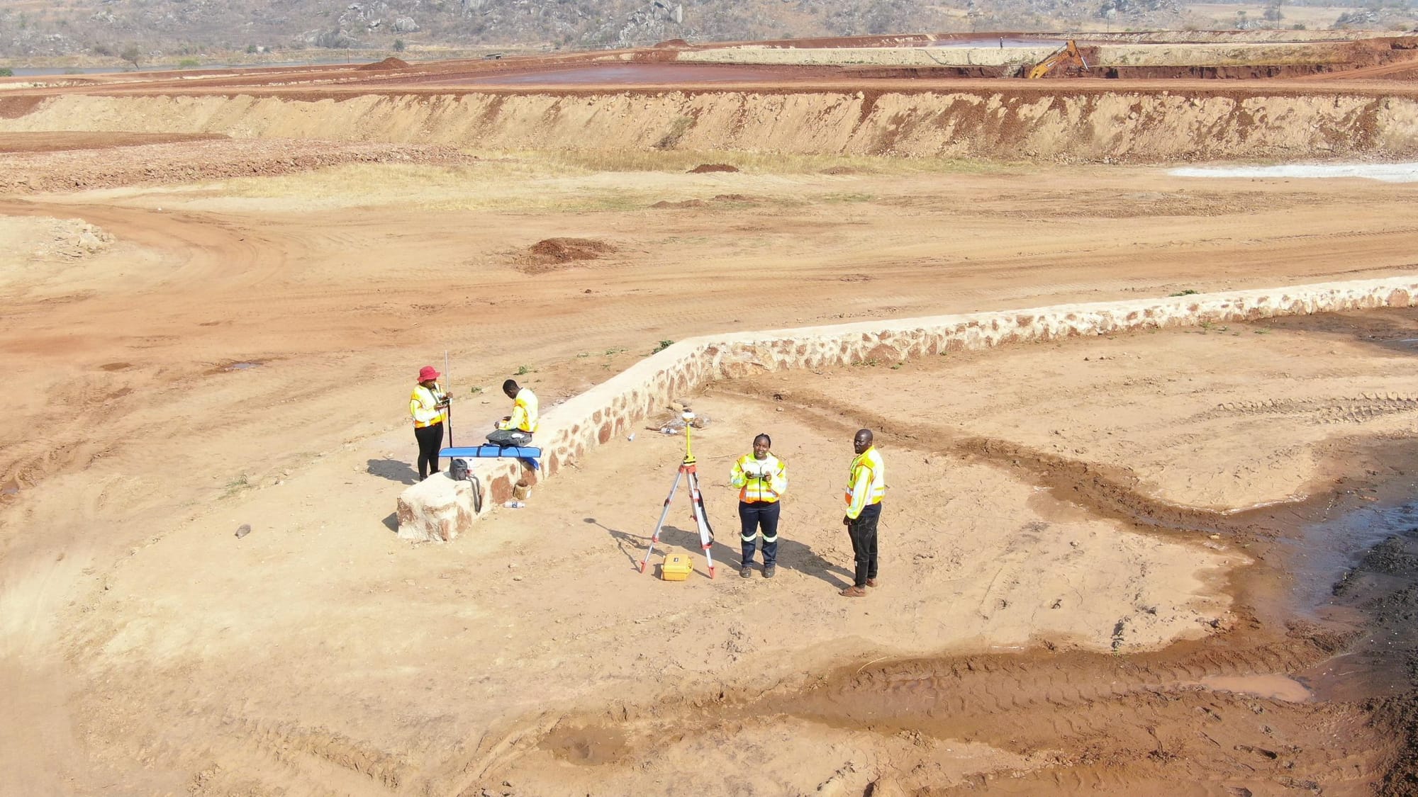
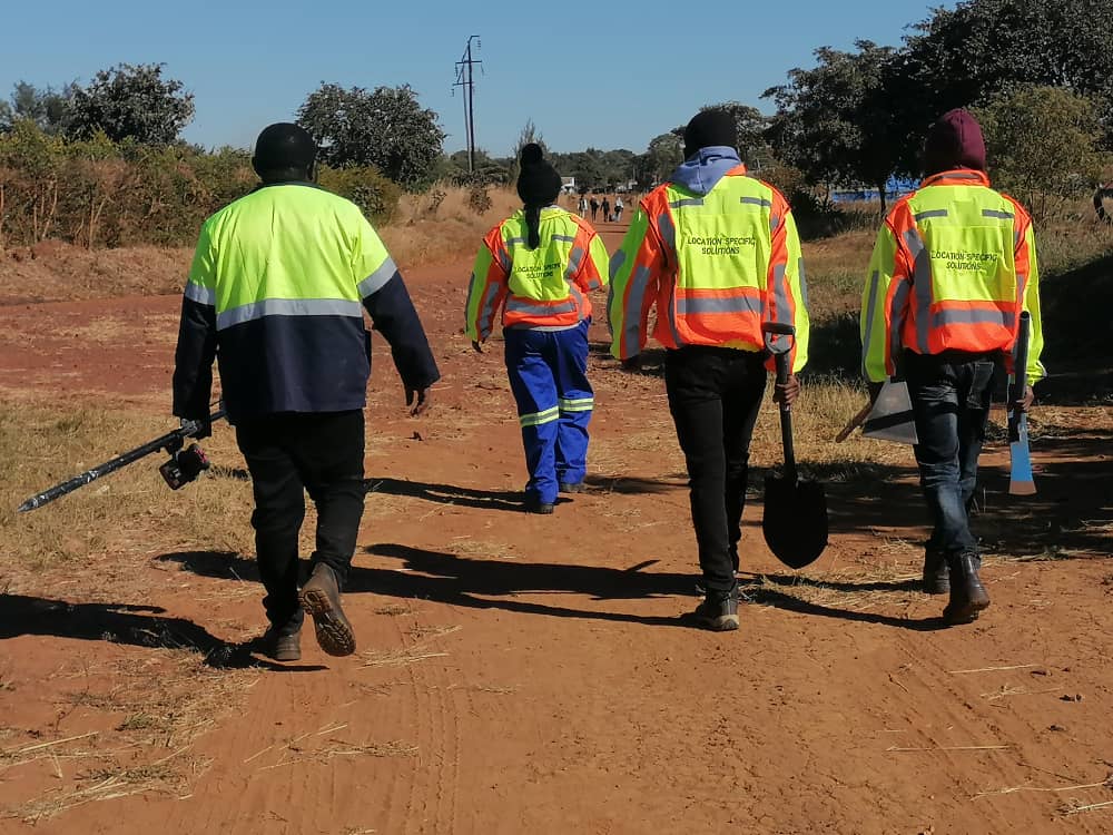
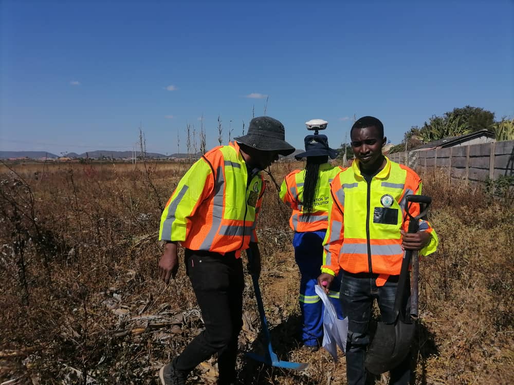
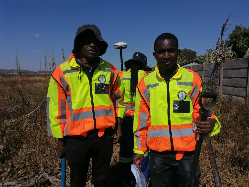
GALLERY


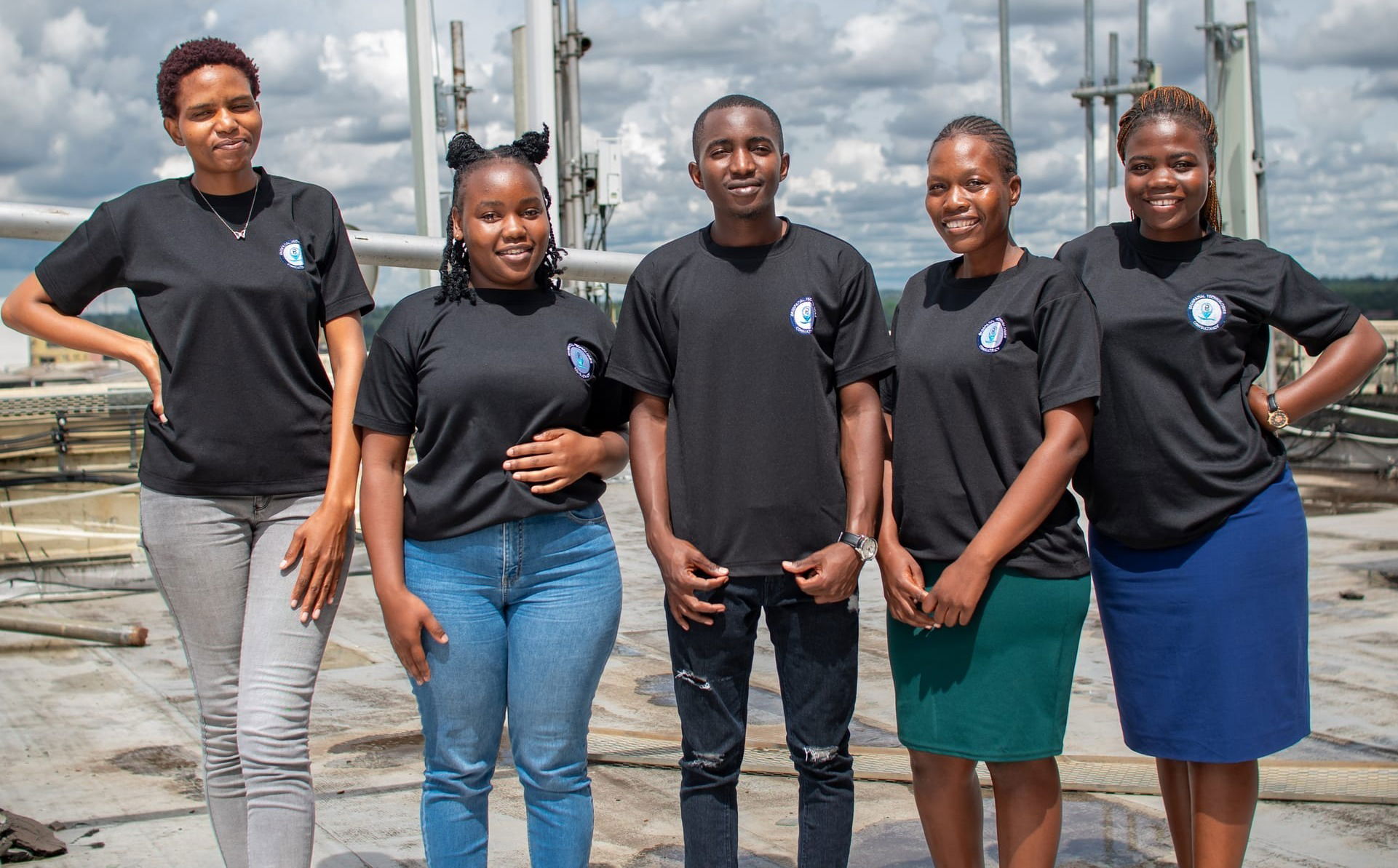


Our Team
Blessing Paul
Managing Director
Results-driven Managing Director with years of leadership experience in Geospatial Consultancy, specializing in Topographic Surveys, Environmental Assessments, GIS and Drone Technology. Proven track record of excellence in the industry.
Farai Charuma
Operations
Highly skilled Operations Manager experienced in land surveying, geospatial mapping, and GIS solutions. Expertise in optimizing field operations, managing survey teams, and implementing advanced mapping technologies to improve accuracy and efficiency. Adept at coordinating large-scale survey projects, ensuring regulatory compliance, and leveraging geospatial data for strategic decision-making.
Mitchell T. Ngirazi
Safety/ Quality
Experience in environmental compliance, assessments, workplace safety, and sustainability initiatives. Expertise in developing and implementing health, safety, and environmental (HSE) policies to ensure regulatory compliance and risk mitigation.
D. Maunga
Certified Drone Pilot
Dedicated to safety, compliance, and innovation, ensuring every project meets the highest industry standards from Precision Mapping, Inspections, Surveying (GIS, photogrammetry), Search & rescue, environmental monitoring and more.
Christina Mapemba
Planner
Dedicated & skilled in creating strategic plans that balance economic growth & environmental sustainability (Urban/town Planning, Environmental Impact Assessments, Infrastructure Planning)
CONTACT US
- Robert Mugabe Road, Harare, Zimbabwe
- Suite 508 Atlas House, Harare, Zimbabwe
- +undefined- 713 970 502
- paulb@geotech.co.zw
- 08:00 - 1700Hrs
info@geotech.co.zw