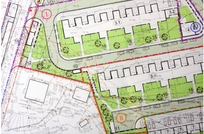
GEODATABASE AND GEOVISUALISATION

Geospatial technologies enables one to acquire data that is referenced to the earth and use it for analysis, modeling, simulations and visualization. This data can be stored in a Spatial Database
Within a spatial database, spatial data is treated as any other data type. Vector data can be stored as point, line or polygon data types, and may have an associated spatial reference system. A Geodatabase record can use a geometry data type to represent the location of an object in the physical world and other standard database data types to store the object's associated attributes. Some geodatabases, such as those used by Esri in their ArcGIS software, also include support for storing raster data. The stored data can be viewed through Geovisualization.