Basic GIS and remote sensing
25/04/2024
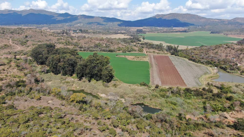
Automated GIS and Remote Sensing
PB-GEOSPATIAL TECHNOLOGIES CONSULTANCY Pvt LTD offers a comprehensive course in Automated GIS and Remote Sensing using a drone. The course covers Basic Flying of a Drone, Image processing and Image analysis, interpretation and pattern recognition. It's a skills improvement and Technology advancement course which add value to users.