- SERVICES
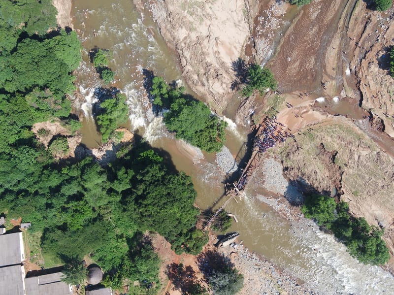
- LAND & AERIAL SURVEYS, TOPOGRAPHICAL SURVEYS & THEMATIC MAPPING
- Topographic Surveys and Thematic Mapping for infrastructure.
- Land and Water Surveys
- Boundary Reaffirmation.
- Area Confirmation.
- Updating of outdated maps.
- Field planning and measurements for well informed decisions.
- Land Subdivisions.
- Geo-database creation and Maintenance.
- Data collection of all utilities for location specific solutions.
- Site selection for any land use project.
- Flood forecasting and monitoring.
- Crime mapping for well informed decision making.
- Disease mapping in epidemiology.