GEOSPATIAL APPLICATIONS
- Data collection in near real time using different Geospatial tools and its analysis eg ODK.
- Supply and deliver drone solutions.
- Customised GIS training to individuals, groups and organisations.
- Supply and/ training of GIS software.
- All mapping surveys for development and infrastructure.
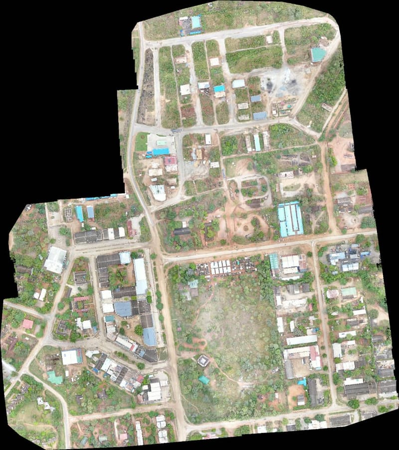
- 2D and 3D mapping.
- Volumetric analysis.
- Course on Automated GIS and Remote Sensing using a drone.
- Mineral mapping using a drone.
- Crop disease mapping using a drone.
- Tracking and monitoring using a drone.